'Siony' continues to move toward Luzon Strait — PAGASA
MANILA, Philippines — Barely days after the onslaught of Typhoon Rolly, Filipinos now have to reckon with Severe Tropical Storm Siony which has already raised tropical cyclone wind signals over a few areas and is set to graduate to typhoon status, weather forecasters said.
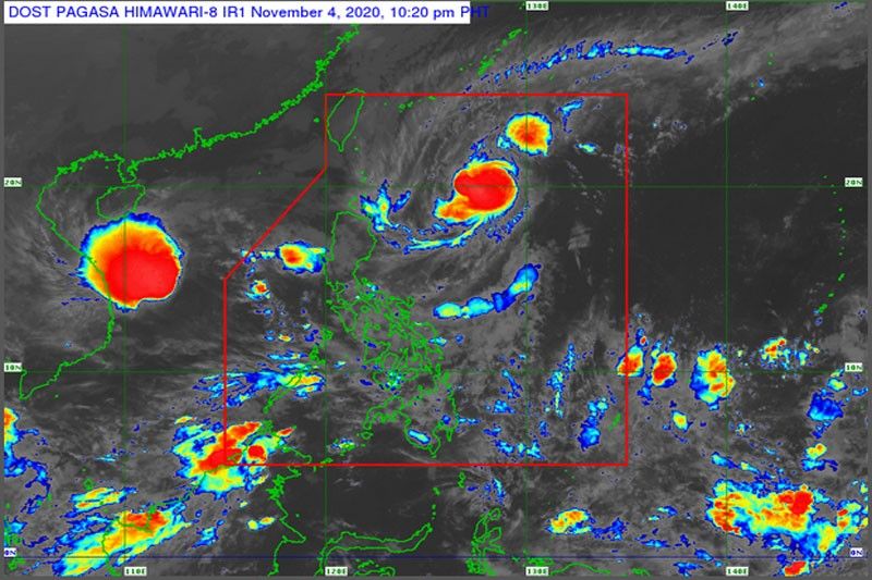
In its latest bulletin issued 2 p.m. on Thursday, state weather bureau PAGASA projected the severe tropical storm to intensify and hit typhoon status by Friday, at which point it will be over the Batanes-Babuyan Islands area.
According to PAGASA, "Siony" is moving westward at 25 kph and packing winds of up to 95 kph and gustiness as high as 115 kph. Light to moderate and at times heavy rainshowers are expected over Central Luzon, Metro Manila, Calabarzon, Mimaropa, Bicol Region, Visayas and Mindanao.
It was last spotted 360 km East of Basco, Batanes and is expected to move westward or west-northwestward over the next two days.
Tropical Cyclone Wind Signal No. 2 has been hoisted over the Batanes and Babuyan Islands.
Signal No. 1 has also been raised in the following areas:
- The northern portion of mainland Cagayan (Santa Ana, Gonzaga, Lal-Lo, Allacapan, Santa Teresita, Buguey, Camalaniugan, Aparri, Ballesteros, Abulug, Pamplona, Sanchez-Mira, Claveria, Santa Praxedes)
- the northern portion of Apayao (Santa Marcela, Luna, Calanasan)
- the northern portion of Ilocos Norte (Adams, Pagudpud, Bangui, Dumalneg, Burgos, Vintar, Pasuquin, Bacarra)
"After leaving the Philippine Area of Responsibility on Friday afternoon or evening, this tropical cyclone is forecast to turn towards the southwest on Saturday morning and accelerate over the West Philippine Sea towards the general direction of central or southern Vietnam," PAGASA said.
Preparedness measures
In a statement, the National Disaster Risk Reduction and Management Council said that local governments in affected areas have already been briefed on the implementation of pre-emptive evacuation in areas that highly susceptibility to storm surge, floods and landslides; dissemination of warnings to areas to be affected; prepositioning of food, non-food items and medicines in various strategic locations; activation of medical teams from different Department of Health-retained hospitals for possible deployment; as well as guidance and memoranda issuance to RDRRMC member agencies and LDRRMCs on stoppage of mining activities, tourism activities, and quarrying.
Cordillera RDRRMC also reported pre-emptive evacuation in flood- and landslide-prone in the Provinces of Apayao, Kalinga and Benguet.
Transport assets such as army trucks are on stand-by for possible augmentation to disaster operations as well as the Department of Public Works and Highways assets for clearing operations.
Forecast positions
- Friday morning: in the vicinity of Basco, Batanes
- Saturday morning: 405 km West Northwest of Basco, Batanes (Outside Philippine area of responsibility)
- Sunday morning: 790 km West of Laoag City, Ilocos Norte (Outside Philippine area of responsibility)
— Franco Luna


- Latest
- Trending